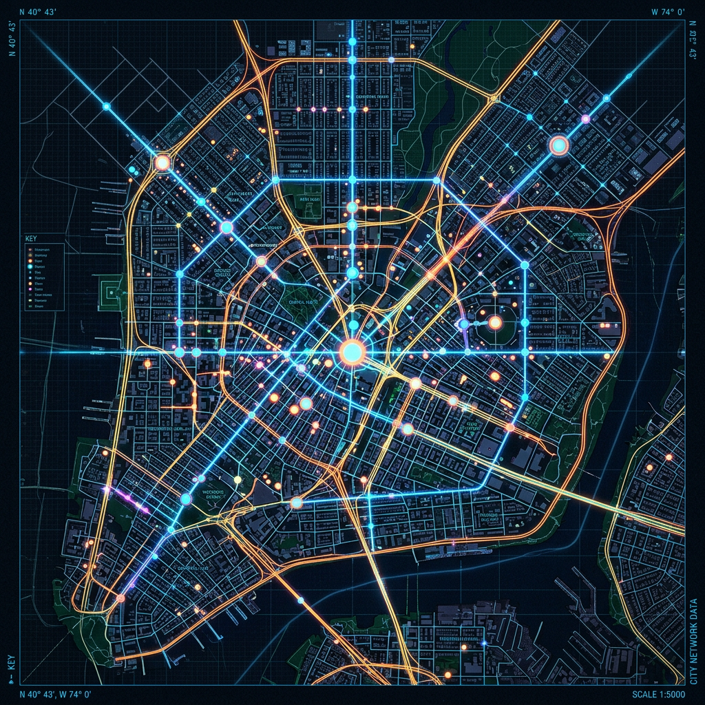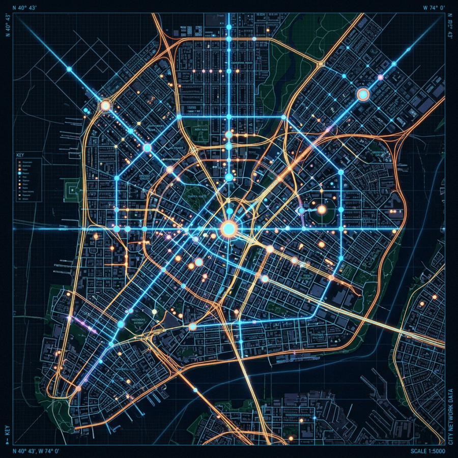
A detailed glowing city map highlighting key infrastructure and data points
This image is a vibrant, detailed city map displayed in a dark, grid overlay style with neon blue and orange lines representing the roadways and network paths. Various circles of different sizes and colors indicate significant data points such as intersections, landmarks, or network hubs, giving the map a dynamic and interactive appearance. The map includes a key to identify different elements like monuments, streets, routes, and hazards. Its futuristic visual style features a high contrast between bright lines and a dark background, suggesting a focus on urban infrastructure and digital connectivity at a scale of 1:5000.